


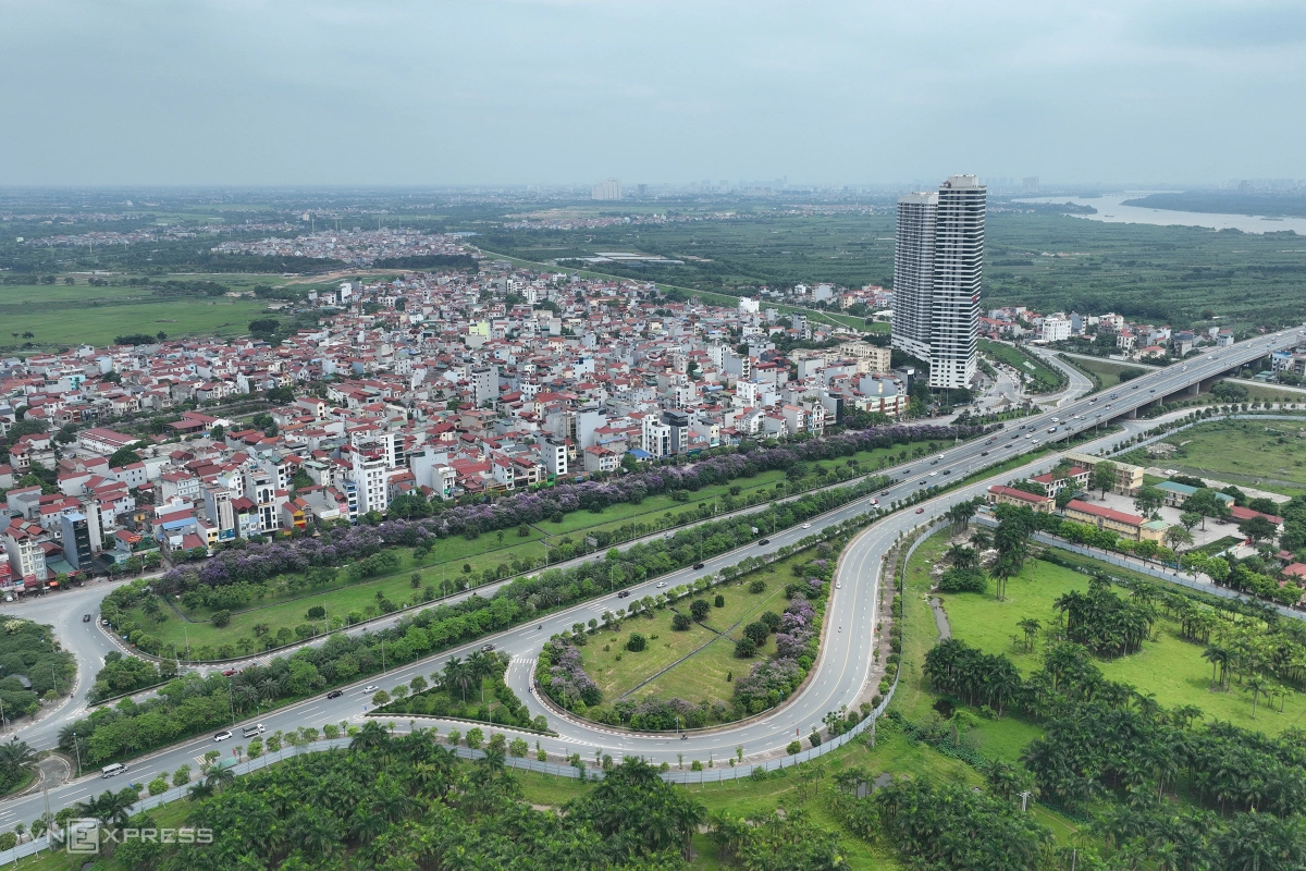
The Thang Long Avenue opened in October 2010, right at the 1,000-year anniversary of the establishment of Hanoi as Vietnam's capital. The avenue is a route that connects downtown Hanoi with western districts.
The road spans 29 km, including two highways and two frontage roads. Each highway has two lanes that allow a maximum speed limit at 100 kph, a lane with a speed limit of 80 kph, and an emergency lane.
In each direction of a frontage road, there are two lanes with a speed limit at 50 kph.
In the picture above, a view of an avenue section running through the National Convention Center in Nam Tu Liem District can be seen.

The Hanoi-Hai Phong expressway is the first Vietnamese expressway to be built per international standards. It connects Hanoi with the port area of Quang Ninh and Hai Phong.
The expressway spans 105 kph, with the section running through Hanoi spanning 6 km. The rest runs through Hung Yen and Hai Duong provinces and Hai Phong City. The road spans up to 35 m in width, with six lanes and a designed speed capacity at 120 kph.

The Phap Van-Cau Gie expressway spans 29 km with six lanes. It is a vital expressway in southern Hanoi, with around 70,000 vehicles traversing it every day. As planned, the expressway would be expanded to eight lanes before 2030.
The Vo Nguyen Giap road is one of Hanoi's modern routes, connecting the center of the capital with Noi Bai International Airport. In the future, administrative centers of Dong Anh District on the city's outskirts would sprout alongside the road, with the highlight being a 108-story tower.
The road spans 16 km, with six normal lanes and two emergency lanes. The speed limit for car is 90 kph. On the two sides are frontage roads.
Ring Road 2 spans 38 km as planned, starting from Minh Khai to Nha Tu Vong-Nga Tu So-Lang-Cau Giay-Buoi-Lac Long Quan-Nhat Tan, before crossing the Red River to reach several other communes, before finally connecting back with Minh Khai to form a loop.
The Ring Road 2 is now half-completed in the south of the Red River. There is already a section in the north that connects Chui and Vinh Tuy bridges.
Since January 2023, over 5 km of elevated roads from the south of Vinh Tuy bridge to the Nga Tu So intersection have been opened, helping to relieve congestion in downtown Hanoi.
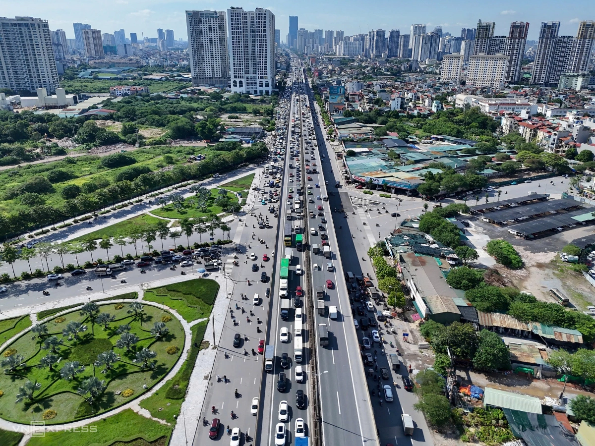
Ring Road 3 begins from the Bac Thang Long road-Noi Bai to Mai Dich-Thanh Xuan-Phap Van-Sai Dong-Phu Dong bridge-Ninh Hiep. It shares a section with the Hanoi-Thai Nguyen expressway, before running towards the south of the ring railway to connect with Bac Thang Long-Noi Bai at to form a loop.
The road has several old sections, with the elevated sections from Thang Long to Thanh Tri bridges being newly constructed, helping vehicles traveling in different directions without having to go through central areas. Ring Road 3 is always crowded, with around 124,000 vehicles using it each day.
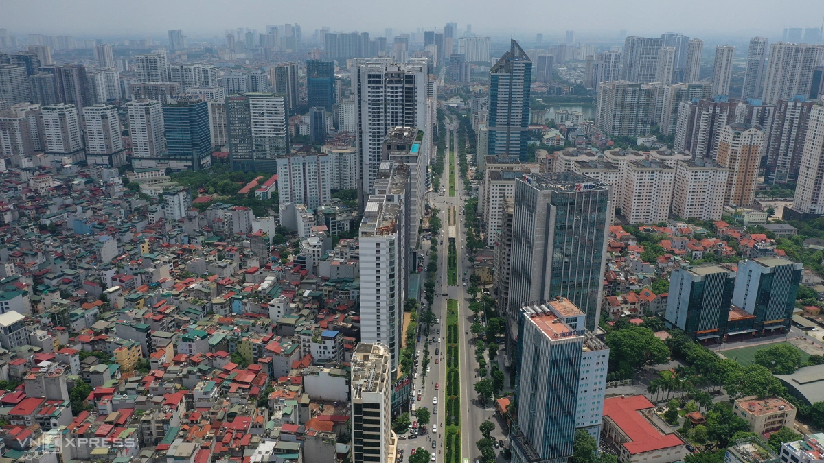
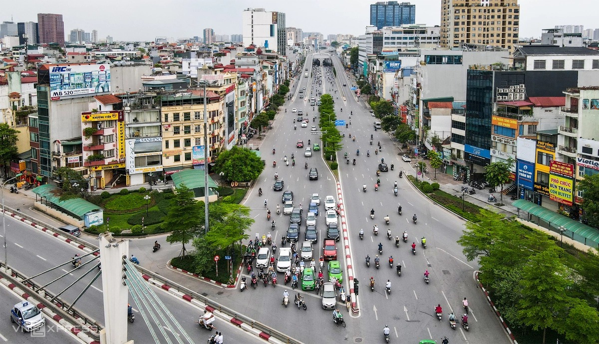
Besides the Thang Long Avenue, Hanoi also has the Le Van Luong-To Huu axis, and several other roads which are being invested for construction, such as Tay Thang Long, Ho Tay-Ba Vi, Ha Dong-Xuan Mai, Tu Lien-the Hanoi-Thai Nguyen expressway.
Besides resolving urban traffic issues, several new urban areas, offices and malls have been sprouting up along roads.

The Noi Bai International Airport, located in the south of Hanoi, is about 40 km away from the center, and is an aviation hub that connects Vietnam with the rest of the world.
The airport has two runways capable of receiving large planes, such as the Boeing 747 or the Airbus 380.
Noi Bai has two terminals: the domestic T1 and the international T2, with a capacity of 25 million visitors a year. Last year it received around 30 million visitors.
The airport is the second largest in Vietnam, just behind the Tan Son Nhat airport in HCMC.
The T2 terminal is being invested for expansion so that the airport can receive 40 million visitors a year.
Photo by VnExpress/Phan Cong

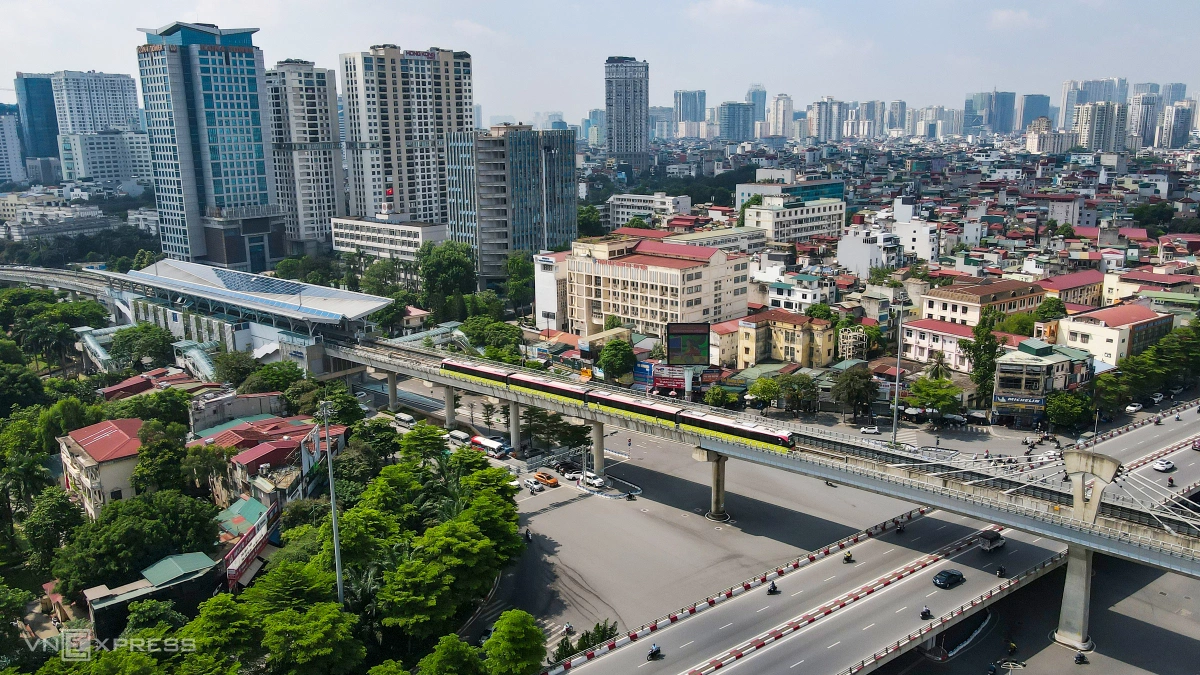
The Cat Linh-Ha Dong metro line spans 13 km, with 12 elevated stations. Each train has four cars with a capacity of 960 people, a maximum speed limit at 80 kph and the operational speed at 35 kph. It takes 23 minutes for a train to run the entire line.
In November 2021, the Cat Linh-Ha Dong line became operational after 10 years in the making. After three years in operation, the line carries 35,000 people every day, with 47% being work commuters and 45% being students.
The Nhon-Hanoi Station metro line, spanning 12.5 km, has eight elevated stations and four underground ones. Among them, the Nhon-Cau Giay elevated section spans 8.5 km, while the Cau Giay-Hanoi Station underground section spans 4 km.
On Aug. 8, the elevated section of the Nhon-Cau Giay line was opened to the public. Within the first week of operation, the line received over 100,000 visitors. The Nhon-Hanoi Station metro line is expected to resolve congestion in western Hanoi.