Spanning an area of 2,356 square kilometers, up to 1,600 meters above sea level, the plateau includes the four districts of Quan Ba, Yen Minh, Dong Van and Meo Vac at the frontier separating Vietnam from China.
The area is home to 17 ethnic minority groups, including the Hmong.
In this picture, the Lung Cu Flag Tower in Dong Van Town is a landmark of national pride proclaiming Vietnamese sovereignty over the region in the early morning.
In 2010, the plateau was recognized as global geopark by UNESCO, catapulting it to global fame.
Thanks to its towering limestone formations, jagged cliffs and captivating karst peaks, the plateau has become a popular adventure spot for Western tourists.
Due to its rising popularity, Ha Giang authorities plan to charge visitors a fee for staying overnight on the Dong Van karst plateau.
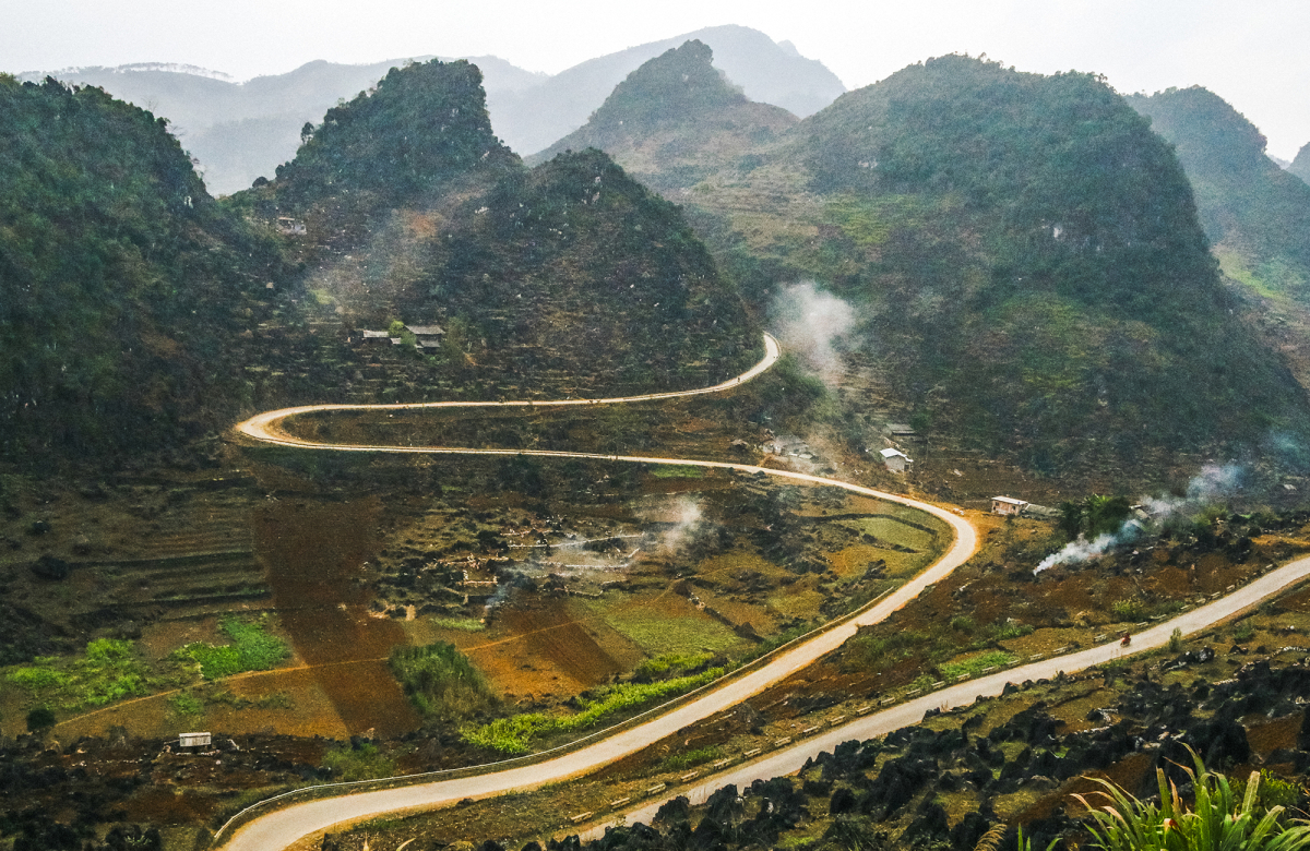
The gateway to Dong Van is Quan Ba District, where a twin mountain range known as Ms. Fairy looks like a collection of upturned bowls.
The rocky plateau terrain is rugged and the roads are winding and dangerous.
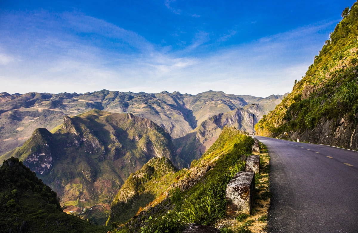
In this picture is a section of Ma Pi Leng, one of the four most dangerous mountainous passes in Vietnam.
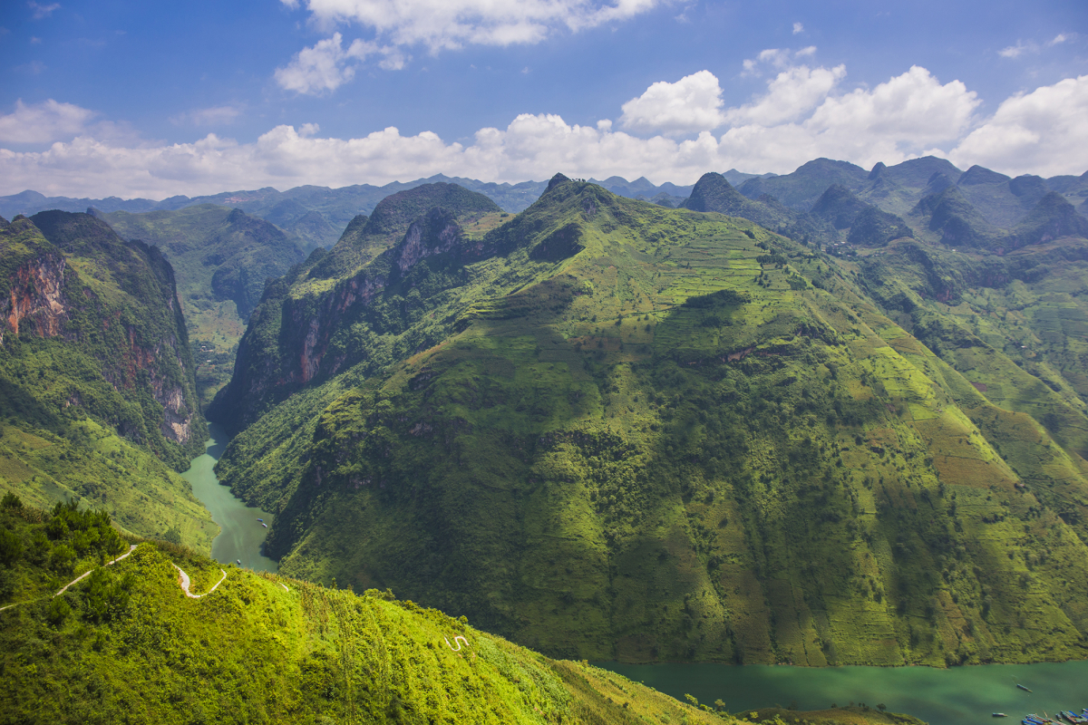
Located at an altitude of 1,200 meters above sea level, the 20-kilometer-long pass is characterized by towering cliffs and a deep abyss. From the top of the pass, one can look down and see the emerald waters of the Nho Que River, a site that local tourism has barely touched.
Next to Ma Pi Leng pass, a craggy road on the cliff called 'White Cliff' is not for the faint-of-heart. It’s nearly 4 km long at an altitude of 1,700 meters.
From the white cliffs, you can see the Nho Que River and admire the magnificent mountain scenery.
Tourists can take a 30-minute boat ride on the Nho Que River for VND100,000 ($4.31) a person.
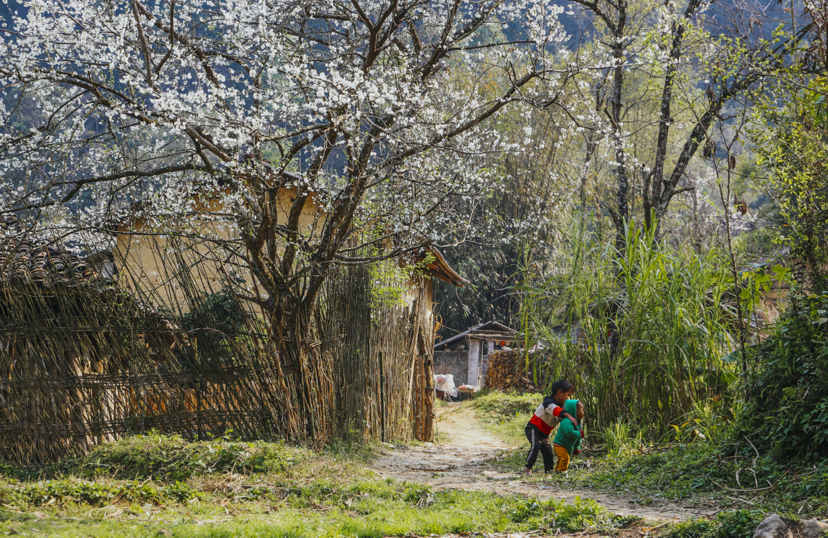
This picture was taken in spring as children played under blooming white plum trees.
Traditional ‘trinh tuong’ houses with yin-yang tiled roofs are a signature of Dong Van. Created by the Tay and Nung communities, these homes are built using a mixture of clay and mud. This architectural style creates a space that is warm in winter and cool in summer.
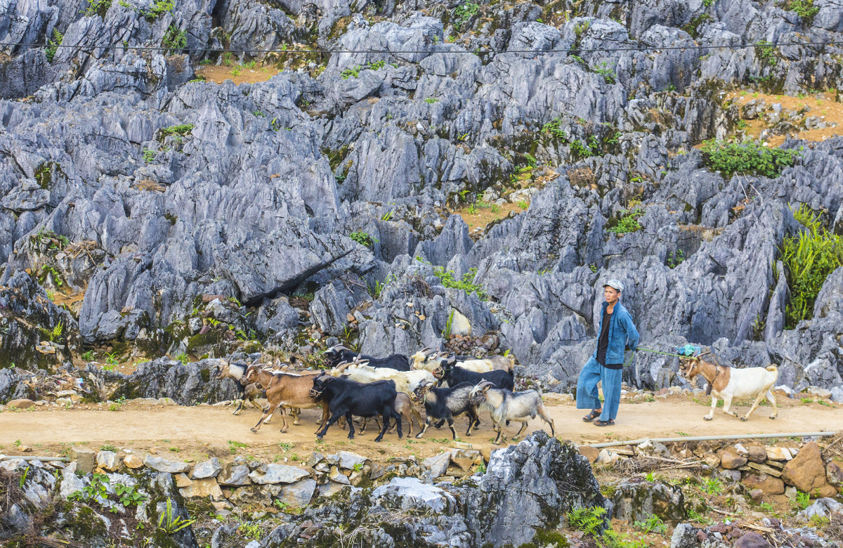
A man leads his goats down a rocky path.
Due to the rugged terrain and severe harsh weather conditions, Ha Giang people have learned to grow corn in between the rocks instead of relying purely on rice.
In the summer, corn begins to flourish. The familiar gray color of the rocky plateau is replaced by the green of the corn fields.
In May and June the Hmong people harvest flax to use as a raw material for weaving.
October to November is the buckwheat flower harvest season.
In this picture, a vast field of Dong Van buckwheat flowers blooms in pink.
In autumn, when the sky is clear, the waters of the Nho Que River are green as jade.
Looking down from the Ma Pi Leng Pass, the Nho Que River looks like a silk strip splitting the mountainsides.
Visitors can take a boat or kayak to enjoy the scenery of Tu San, Southeast Asia's deepest canyon with cliffs up to nearly 900 m high.
In December, when winter comes, temperatures can drop below zero degrees Celsius. Ice and even snow sometimes appears.
In this picture, cherry blossoms are covered with ice.
In winter, the whole plateau is covered with frost.
In this photo is the intersection of Lao Xa, Sung La, and Dong Van villages. The temperature dropped to below two degrees Celsius.
The Dong Van rock plateau is home to about 250,000 people from 17 ethnic minority communities.
Ethnic communities still maintain their distinctive lifestyle and rituals. Flea markets make up a major part of daily life in plateau communities.
In this picture, people bring their pigs to market for sale.


