


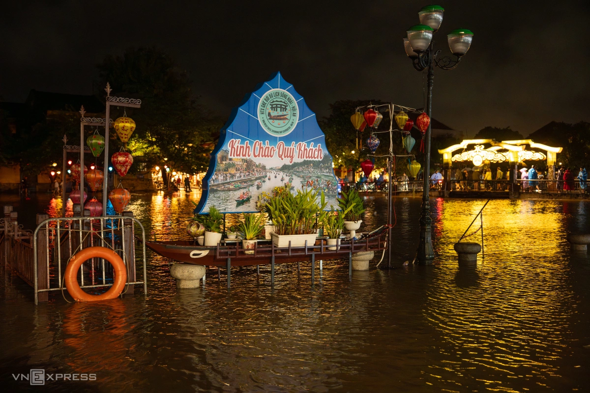
Floodwaters in Hoi An rose quickly on Sunday.
By afternoon, floodwaters had encroached onto Bach Dang Street, reaching depths of approximately half a meter, and by midnight, levels rose to around one meter, extending across to Nguyen Phuc Chu Street on the opposite bank of the Hoai River.
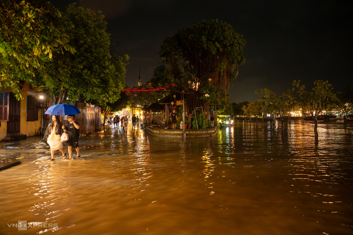
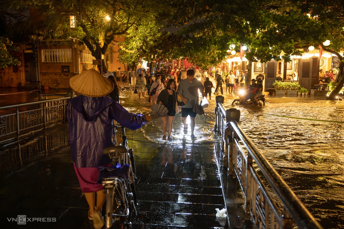
Despite the rising waters, many tourists continued to walk along the streets, observing the ancient town partially submerged.

Some tourists wore raincoats and conical hats, and many even bought lanterns to float on the Hoai River despite the rain and rising waters.
Releasing lanterns is a cherished cultural and spiritual ritual in Hoi An, believed to allow visitors to send wishes for peace and happiness.
Long used to annual floods, residents of the old town of Hoi An had proactively relocated their possessions to higher ground before the waters rose.

Some boat operators continued navigating their tourist boats along Bach Dang Street to pick up passengers, as no official warnings had yet been issued by authorities at the time.

By around 7 p.m., floodwaters had nearly reached An Hoi Bridge over the Hoai River. Traffic police were on site, warning people not to drive through the flooded areas for their safety.

Warning signs were installed around hazardous areas to alert residents and tourists to avoid sections with deep water.
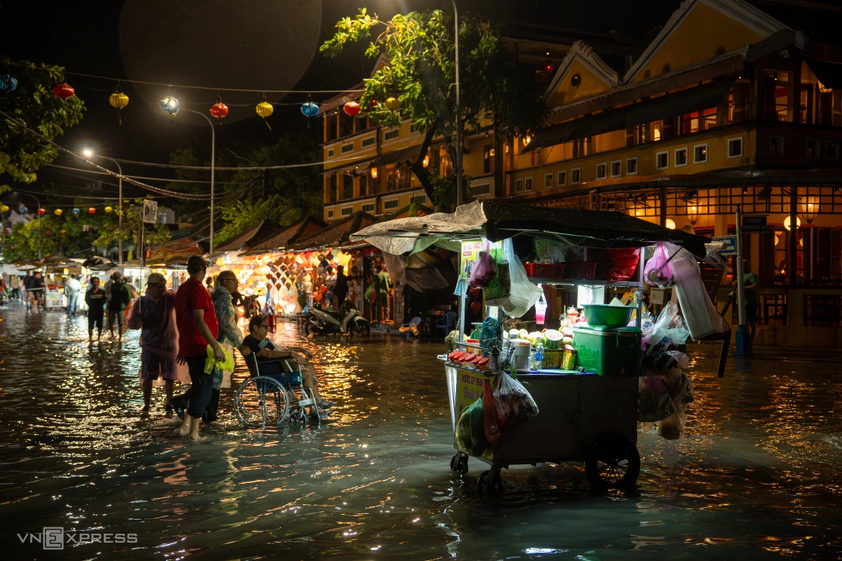
The liveliest spot was Nguyen Hoang Night Market, where tourists waded through the water to soak in the unique atmosphere of the flooded ancient town.

By around 9 p.m., water on the Hoai River continued to rise, further submerging parts of the town.
According to the Central Hydrometeorological Forecasting Center, cold air, a tropical convergence zone, and easterly winds are expected to bring heavy rainfall to Da Nang from the evening of Oct. 26 to 28 — with totals ranging from 200–400 mm in lowland areas, 250–450 mm in the southwestern mountains, and 150–350 mm in the northwest, and some locations potentially exceeding 500–600 mm.
Rivers in the region are expected to see a new flood surge, with peak levels on the Vu Gia–Thu Bon river system, flowing through Da Nang City, potentially surpassing level three, the highest warning level, while the Han River and Tam Ky River may reach level two.